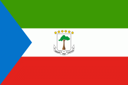
赤道ギニア (Republic of Equatorial Guinea)
 |
 |
| 赤道ギニアの国旗 | |
国名が似ているため混同しやすいが、赤道ギニア共和国とギニア共和国は全く別の国である.
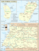
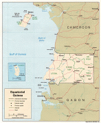
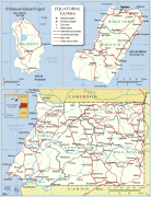
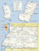
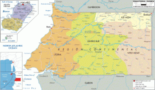
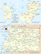
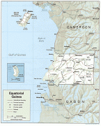
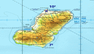
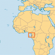
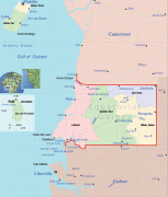
リオ・ムニは北はカメルーン、南と東はガボンと接する. 首都のマラボはビオコ島に位置している.
大陸部分に海外領土ではない領土を持ち、首都が島に存在する国は赤道ギニアとデンマークのみである(海外領土も含める場合は他にジブラルタルを領有するイギリスがある). なお、ポルトガル語公用語アフリカ諸国及びフランコフォニー国際機関に加盟している国家の一つともなっている.
気候は高温多湿の熱帯性気候である.
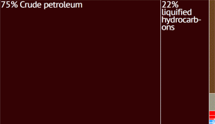
1992年の原油生産開始以降、急速に経済成長が進み、2017年には後発発展途上国の指定を解除されたものの 、貧富の差やガバナンスに多大な問題があることが指摘されている.
通貨 / 言語
| ISO | 通貨 | シンボル | 有効数字 |
|---|---|---|---|
| XAF | 中央アフリカCFAフラン (Central African CFA franc) | Fr | 0 |