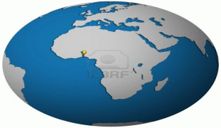
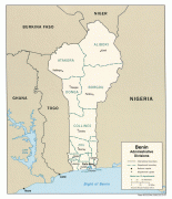
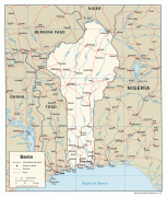
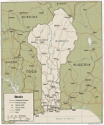
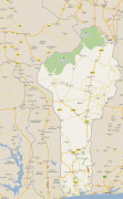
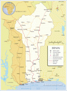
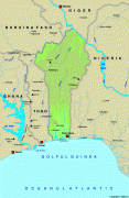
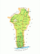
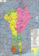
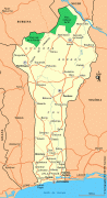
Benin (Republic of Benin)
 |
 |
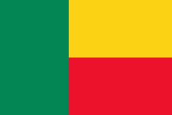
| Flag of Benin | |
From the 17th to the 19th century, political entities in the area included the Kingdom of Dahomey, the city-state of Porto-Novo, and other states to the north. This region was referred to as the Slave Coast from the early 17th century due to the high number of people who were sold and trafficked during the Atlantic slave trade to the New World. France took over the territory in 1894, incorporating it into French West Africa as French Dahomey. In 1960, Dahomey gained full independence from France. As a sovereign state, Benin has had democratic governments, military coups, and military governments. A self-described Marxist–Leninist state called the People's Republic of Benin existed between 1975 and 1990. In 1991, it was replaced by the multi-party Republic of Benin.
The official language of Benin is French, with indigenous languages such as Fon, Bariba, Yoruba and Dendi also spoken. The largest religious group in Benin is Christianity (52.2%), followed by Islam (24.6%) and traditional faiths (17.9%). Benin is a member of the United Nations, the African Union, the Economic Community of West African States, the Organisation of Islamic Cooperation, the South Atlantic Peace and Cooperation Zone, Francophonie, the Community of Sahel–Saharan States, the African Petroleum Producers Association and the Niger Basin Authority.
During French colonial rule and after independence on 1 August 1960, the country was named Dahomey, after the Kingdom of Dahomey. On 30 November 1975, the country was renamed Benin following a Marxist-Leninist military coup. The Bight of Benin borders the country, and the bight takes its name from the Kingdom of Benin, located in present-day Nigeria.
Currency / Language
| ISO | Currency | Symbol | Significant figures |
|---|---|---|---|
| XOF | West African CFA franc | Fr | 0 |
| ISO | Language |
|---|---|
| FR | French language |